Nepean neighbourhoods
Nepean Township, originally known as Township D, was established in 1792, and Nepean was incorporated as a city on November 24, 1978. Its centre moved to Bells Corners after Westboro was annexed by the City of Ottawa in 1950. In the 1950s and 1960s the urban area expanded into formerly rural land, including Centrepointe in the east. Nepean joined the new City of Ottawa in 2001. The twelve areas below range from older grid-pattern streets in City view to apartment-heavy Parkwood Hills and row-house-heavy Bells Corners West, using 2021 census figures via the Ottawa Neighbourhood Study.
The Nepean area has 12 neighbourhoods: Centrepointe, Craig Henry – Manordale, Crestview – Tanglewood, Qualicum – Redwood, Trend-Arlington, Leslie Park – Bruce Farm, Bells Corners East, Bells Corners West, Parkwood Hills, City view, Braemar Park – Bel Air Heights – Copeland Park and Carleton Heights – Courtland Park.
Updated · Facts on this page link to their sources
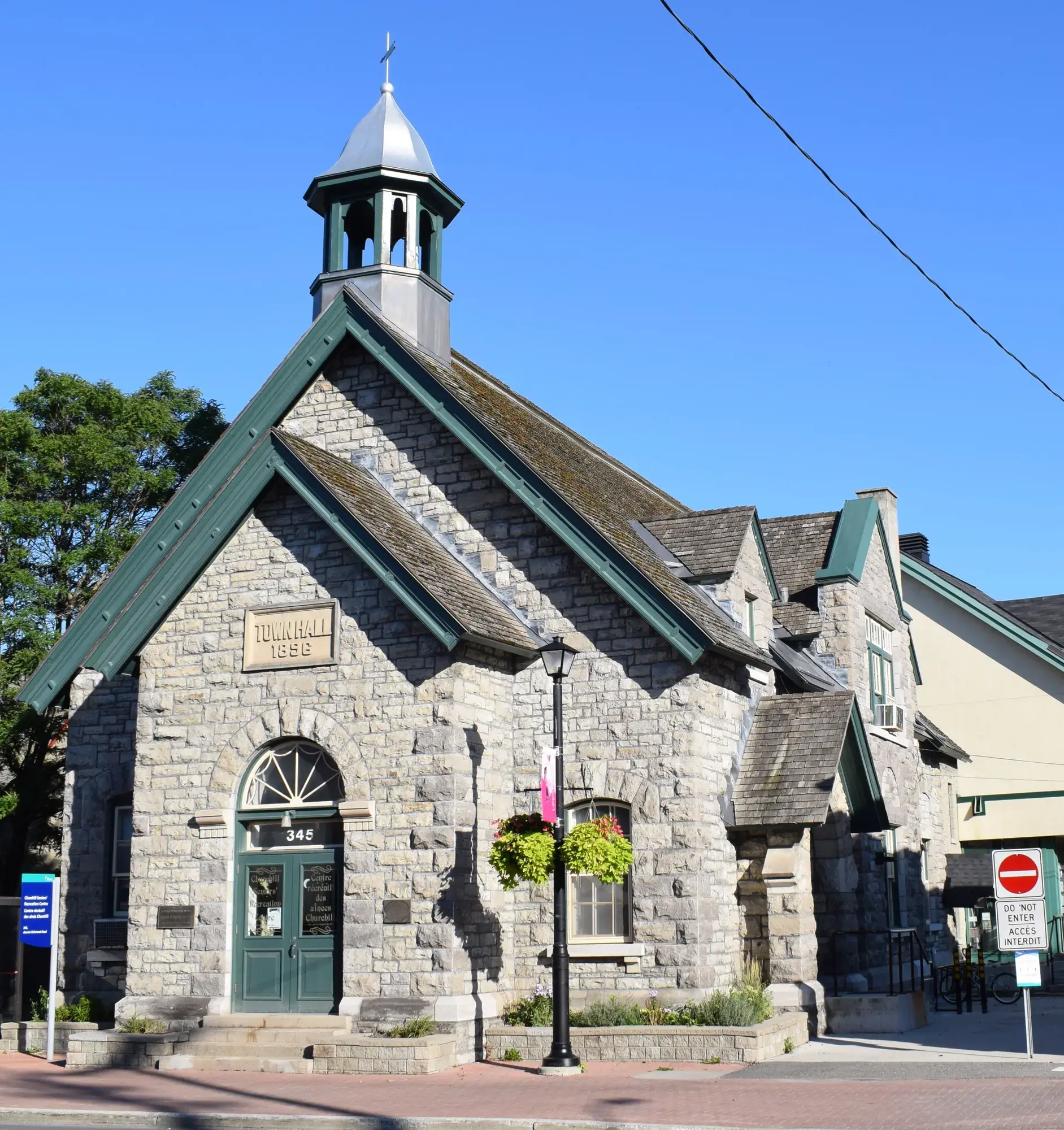
Ottawa, Ontario - Nepean Town Hall. Photo: Cantons-de-l'Est, CC BY-SA 4.0, via Wikimedia Commons 01Centrepointe
A Nepean community around Ben Franklin Place, with a Transitway station about 1 km away.
Ottawa Neighbourhood Study area 'Centrepointe'.
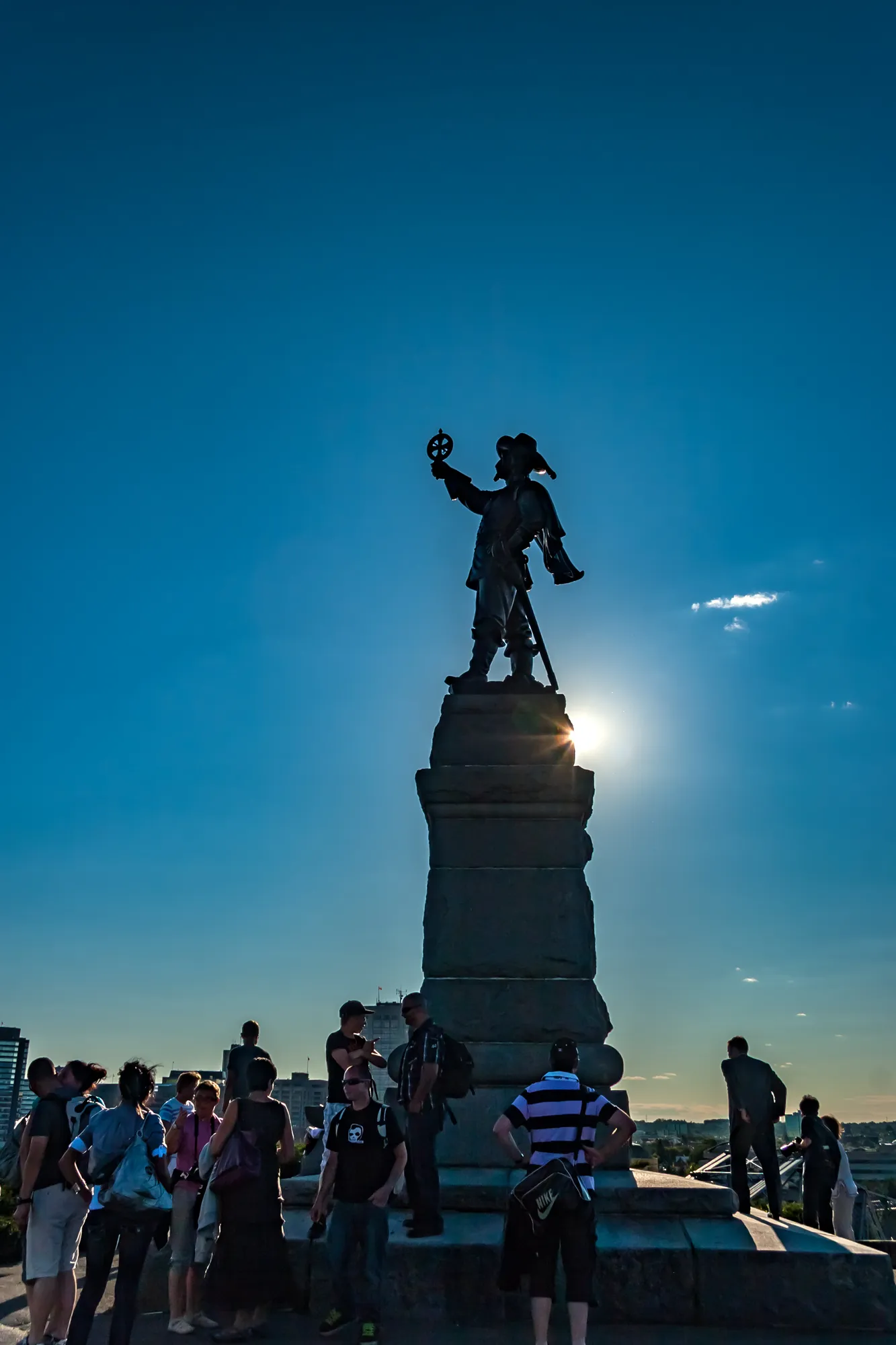
Statue Champlain Nepean Point Ottawa (27283994218). Photo: Michel Rathwell from Cornwall, Canada, CC BY 2.0, via Wikimedia Commons 02Craig Henry – Manordale
A family-oriented Nepean area with detached and row housing and a hydro-corridor trail on its doorstep.
Ottawa Neighbourhood Study area 'Craig Henry - Manordale'.
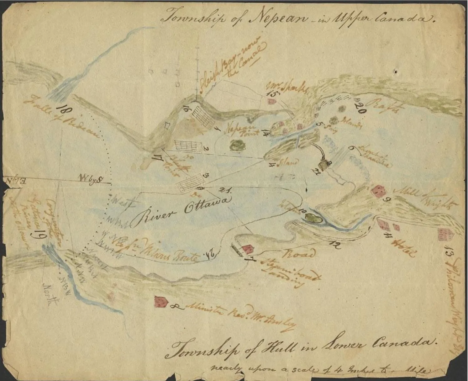
Carte de Philemon Wright illustrant la pointe Nepean et ses environs en 1828. Photo: Philemon Wright, Public domain, via Wikimedia Commons 03Crestview – Tanglewood
A neighbourhood of mostly bungalows and townhouses beside Merivale Road, with a community centre within 1 km.
Ottawa Neighbourhood Study area 'Crestview - Tanglewood'.
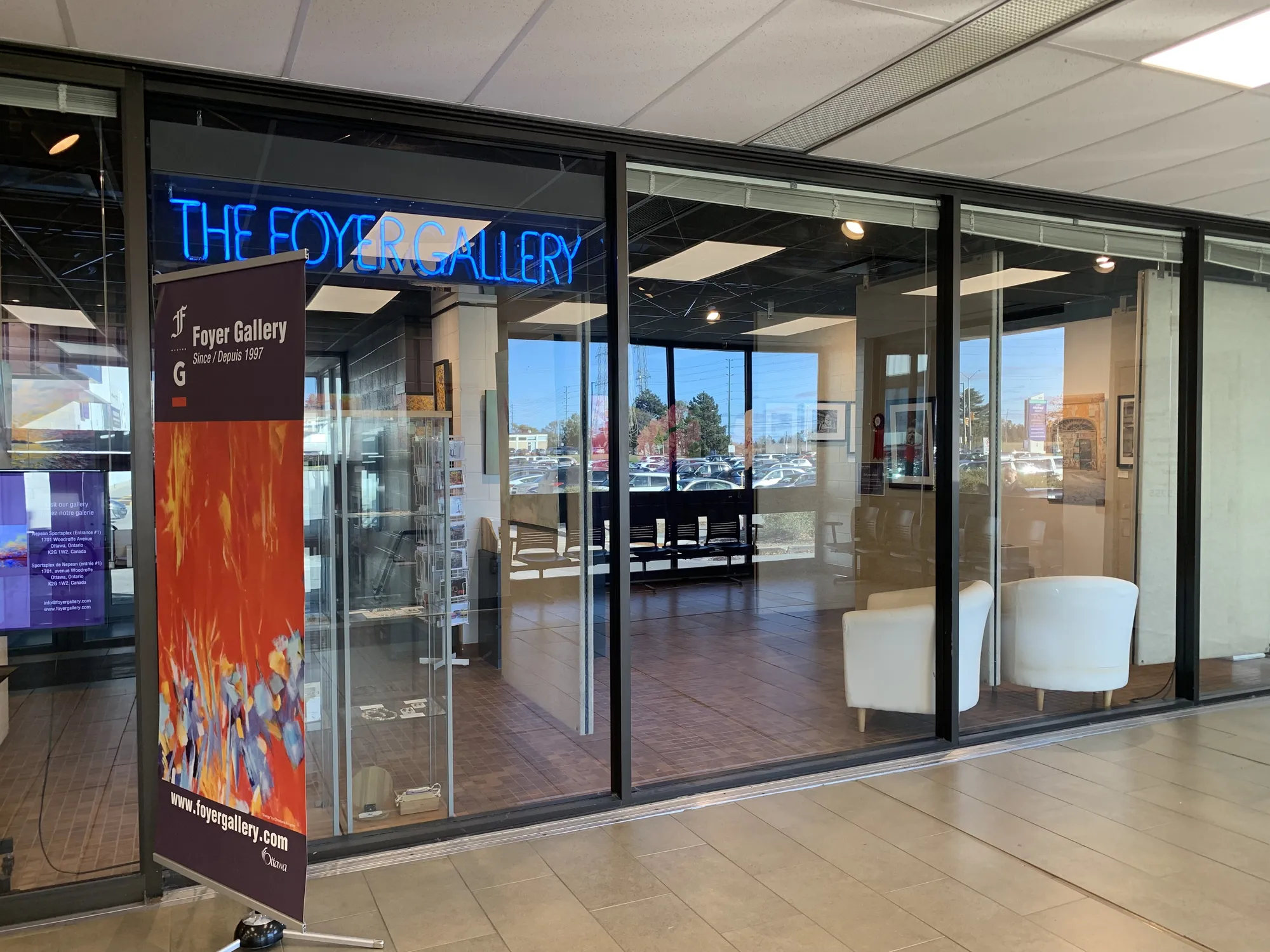
Foyer Gallery. Photo: Itmejayz, CC0, via Wikimedia Commons 04Qualicum – Redwood
A 1960s neighbourhood near Bayshore with the Queensway Carleton Hospital under 1 km away.
Ottawa Neighbourhood Study area 'Qualicum - Redwood'.
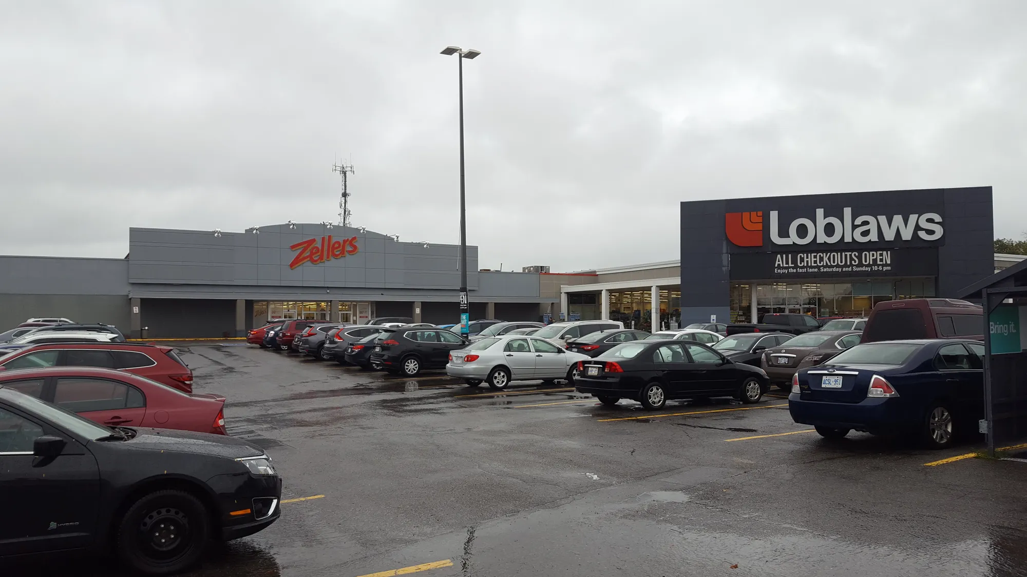
Kmart Zellers Nepean, ON (38534112406). Photo: Mike Kalasnik from Charlotte, USA, CC BY-SA 2.0, via Wikimedia Commons 05Trend-Arlington
A leafy, mostly owner-occupied area with the highest tree canopy of the twelve neighbourhoods.
Ottawa Neighbourhood Study area 'Trend-Arlington'.
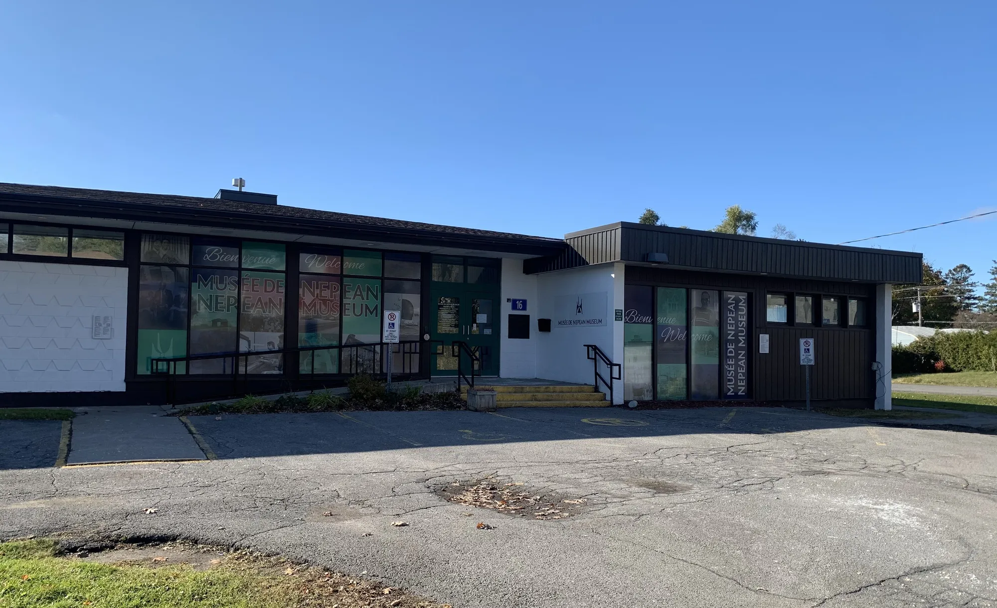
Nepean Museum. Photo: Itmejayz, CC0, via Wikimedia Commons 06Leslie Park – Bruce Farm
A smaller area with many row houses and apartments, close to the Queensway-Carleton Hospital.
Ottawa Neighbourhood Study area 'Leslie Park - Bruce Farm'.

Nepean Point and Major's Hill Park. Photo: Óðinn, CC BY-SA 2.5 ca, via Wikimedia Commons 07Bells Corners East
An older, owner-occupied area next to Bells Corners' library and arena.
Ottawa Neighbourhood Study area 'Bells Corners East'.
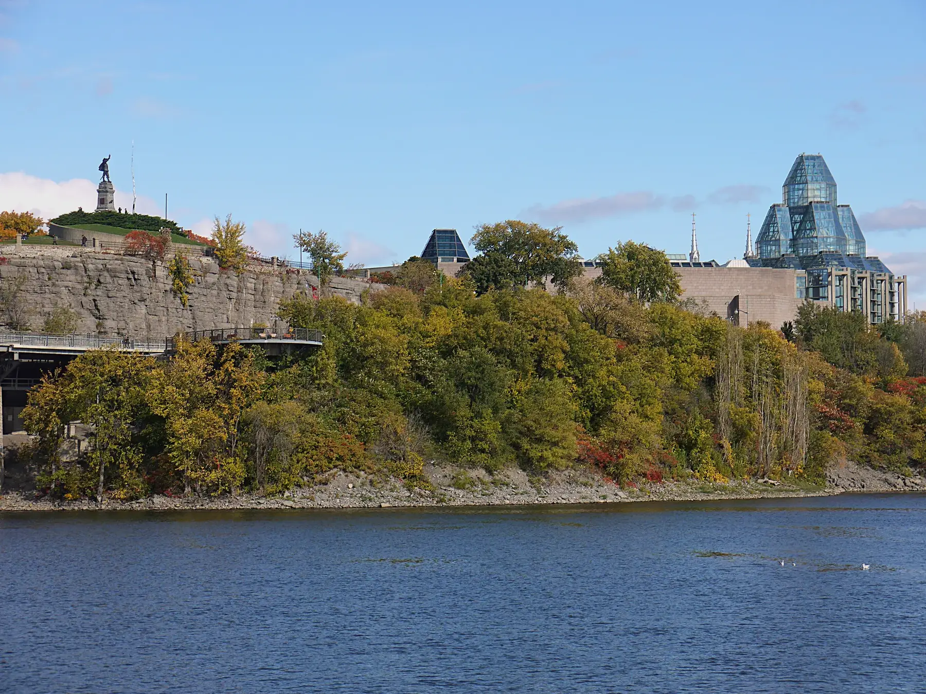
Nepean Point and National Gallery of Canada. Photo: Óðinn, CC BY-SA 2.5 ca, via Wikimedia Commons 08Bells Corners West
A row-house-heavy area with a supermarket and French-language high school within 0.3 km.
Ottawa Neighbourhood Study area 'Bells Corners West'.
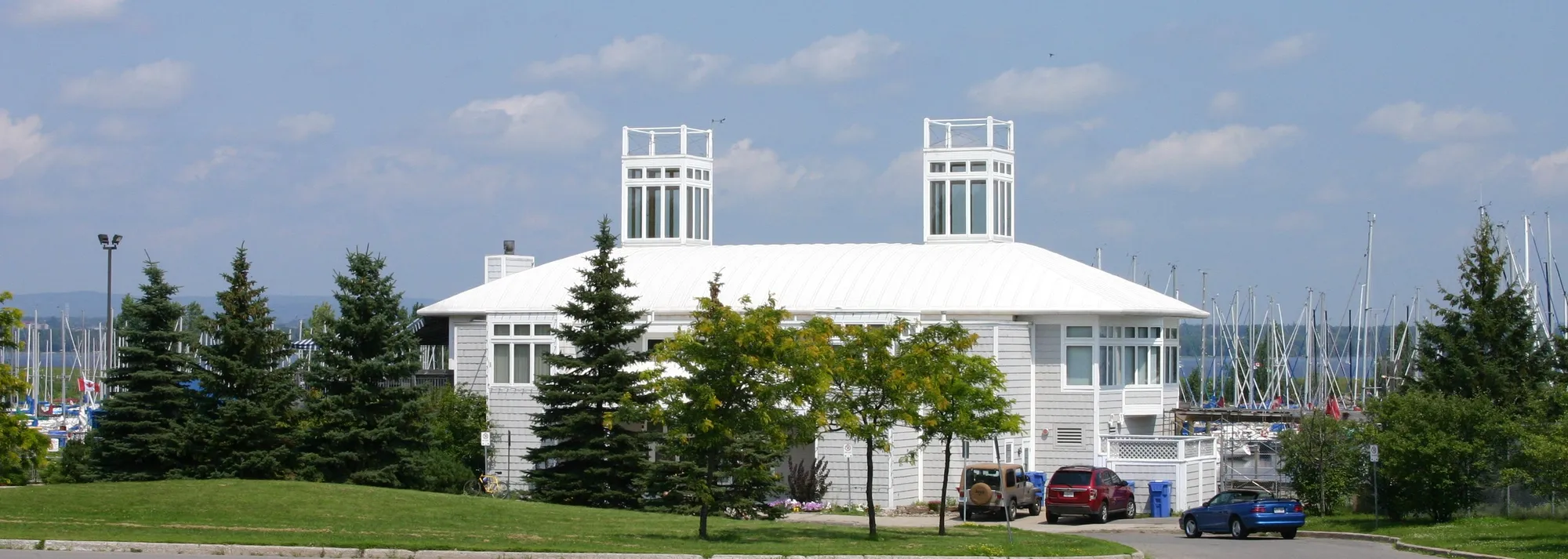
Nepean Sailing Club July 2006. Photo: See permission, Public domain, via Wikimedia Commons 09Parkwood Hills
A young, renter-majority area dominated by apartment buildings, close to the Mooney's Bay O-Train station.
Ottawa Neighbourhood Study area 'Parkwood Hills'.
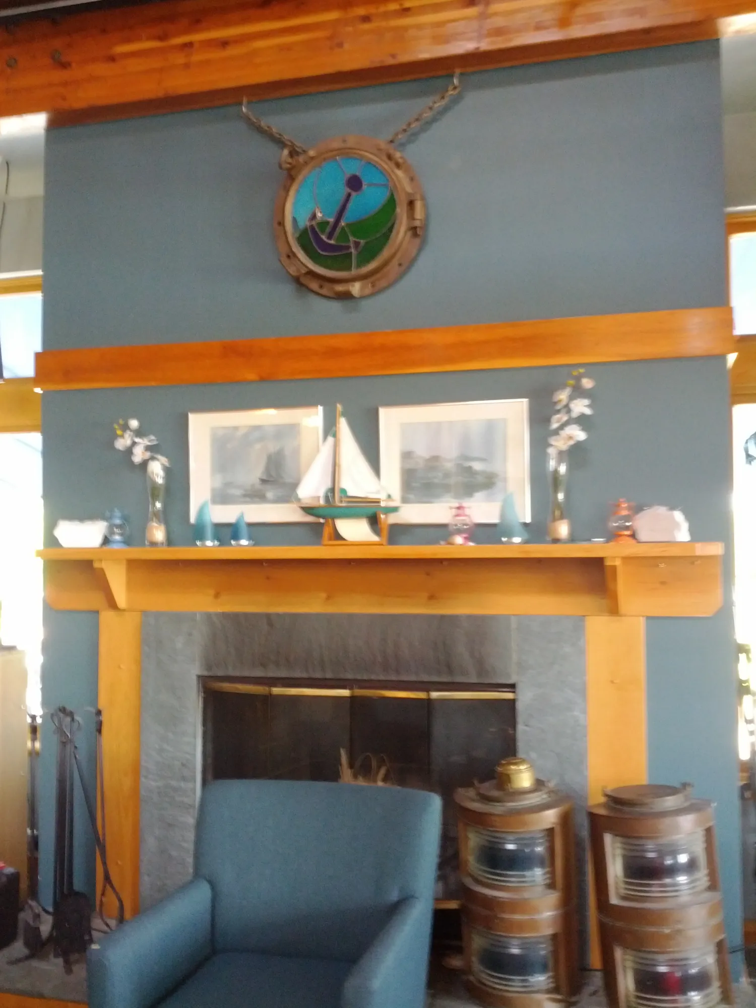
Nepean Sailing Club main lounge fireplace. Photo: Victoriaedwards, CC BY-SA 3.0, via Wikimedia Commons 10City view
An older grid-pattern neighbourhood beside Algonquin College, split almost evenly between owners and renters.
Ottawa Neighbourhood Study area 'City view'.
Ottawa, Ontario - Nepean Town Hall. Photo: Cantons-de-l'Est, CC BY-SA 4.0, via Wikimedia Commons 11Braemar Park – Bel Air Heights – Copeland Park
A larger area mixing detached houses with a third of homes in high-rise apartment buildings.
Ottawa Neighbourhood Study area 'Braemar Park - Bel Air Heights - Copeland Park'.
Ottawa, Ontario - Nepean Town Hall. Photo: Cantons-de-l'Est, CC BY-SA 4.0, via Wikimedia Commons 12Carleton Heights – Courtland Park
The closest of the twelve areas to downtown and to an O-Train station, with a renter-owner split near even.
Ottawa Neighbourhood Study area 'Carleton Heights - Courtland Park'.
Quick answers
Short answers first; each links to the full answer and its sources.
Is Nepean a good place to live?
Nepean suits people who want a suburban west-end Ottawa setting with many parks, four school boards and a range of housing from detached homes to apartments. It is mostly car-oriented: in the 2021 census, 62.2% to 82.6% of workers in the Nepean neighbourhoods commuted by car, and Walk Score averages run from 21 to 39.
As of 2026-10 · ons-sqo.ca en.wikipedia.org
Where is Nepean in Ottawa?
Nepean is an area in the west end of Ottawa, Ontario, west of the city's inner core. It was an independent city until it amalgamated with the Regional Municipality of Ottawa–Carleton in 2001 to form the new City of Ottawa, and the name is still used for the area.
As of 2026-10 · en.wikipedia.org
How far is Nepean from downtown Ottawa?
Nepean's neighbourhoods are 6.5 km to 15.8 km from Parliament Hill in a straight line, as the crow flies. Carleton Heights is closest at 6.5 km and Bells Corners West is farthest at 15.8 km.
As of 2026-10 · en.wikipedia.org en.wikipedia.org
What schools serve Nepean?
Nepean is served by the OCDSB and the English-language Catholic board (OCSB), the French boards CÉPEO and CECCE, and independent schools. City of Ottawa data lists 70 schools in and around the guide area: 25 OCDSB, 17 OCSB, 4 CECCE, 4 CÉPEO and 20 independent.
As of 2026-10 · maps.ottawa.ca en.wikipedia.org
Are there French-language schools in Nepean?
Yes. Nepean has French-language schools run by CÉPEO (public) and CECCE (Catholic), four of each in City of Ottawa data. Examples include Terre-des-Jeunes Catholic Elementary School, Mamawi Public Elementary School and Catholic College Franco-Ouest.
As of 2026-10 · maps.ottawa.ca maps.ottawa.ca
What are homes like in Nepean?
Homes in Nepean range from single-detached houses and row houses to high-rise apartments, depending on the neighbourhood. In the 2021 census, single-detached houses were 58.9% of dwellings in City view but only 1.1% in Parkwood Hills, where 59.1% of dwellings were in buildings of five or more storeys.
As of 2026-10 · ons-sqo.ca en.wikipedia.org