Parkwood Hills
A young, renter-majority area dominated by apartment buildings, close to the Mooney's Bay O-Train station.
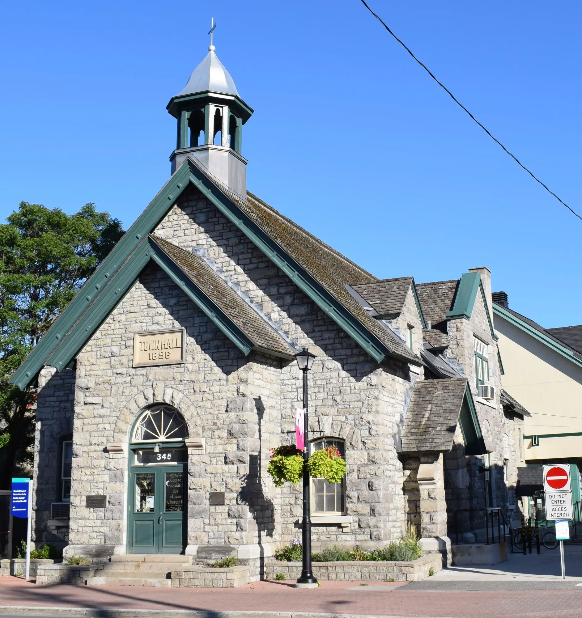
Parkwood Hills had 5,905 residents in 2,420 private dwellings in the 2021 census, via the Ottawa Neighbourhood Study. Population: 5,905 (2021).
Updated · Facts on this page link to their sources
About Parkwood Hills
Parkwood Hills had 5,905 residents in 2,420 private dwellings in the 2021 census, via the Ottawa Neighbourhood Study. It had the youngest median age (28.4) and the highest share of renter households (87.7%) of the twelve areas, and 59.1% of dwellings were in buildings of five or more storeys. Mooney's Bay O-Train station is 3.6 km away in a straight line. Public transit was the commute mode for 26.7% of workers in 2021.
Boundaries
Ottawa Neighbourhood Study area 'Parkwood Hills'. ons-sqo.ca ons-sqo.ca
Homes
In the 2021 census, 59.1% of dwellings were in apartment buildings of five or more storeys and 12.3% in smaller apartment buildings, with 26.2% row houses and 1.1% single-detached. Renter households were 87.7% and owner households 12.5%. The median owner-estimated value of owned dwellings was $250,000 (2021 census); with few owner households, treat it as a limited indicator. ons-sqo.ca
- Population 5,905 (2021 census)
- Median age 28.4 and children 0–14 are 22.7% of residents (2021 census)
- Renter households 87.7% (2021 census)
- Mooney's Bay O-Train station 3.6 km away (straight line)
- 33.6% of residents within a 15-minute walk of a community health centre (ONS data)
- No Frills, FreshCo and Food Basics each about 1.0 km away (straight line)
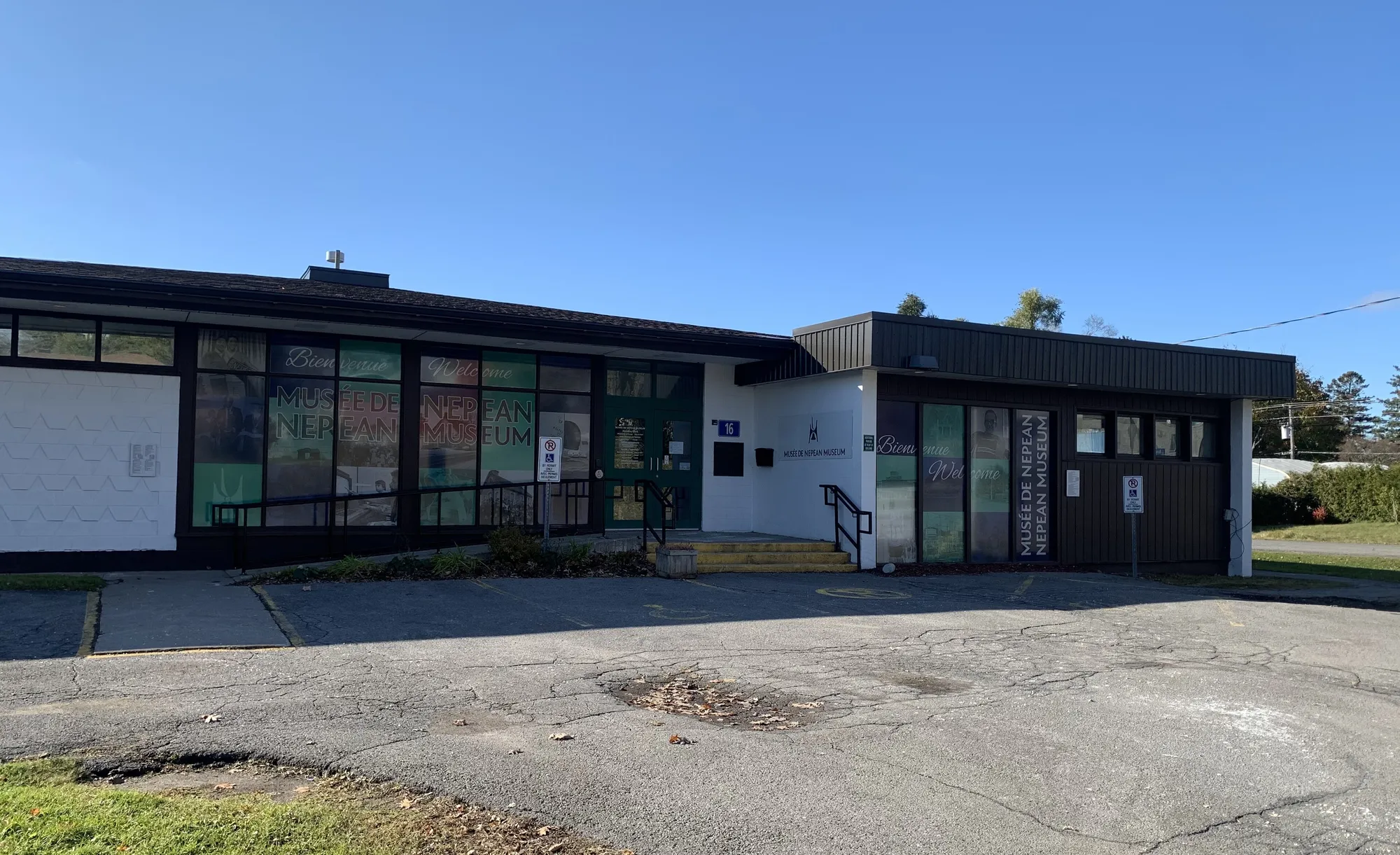
- 2010
Parkwood Hills Public School closed in 2010. en.wikipedia.org
Around Parkwood Hills
Walking rings at 5, 10 and 15 minutes from the neighbourhood centre.
Schools
10 nearbyFrank Ryan Catholic Intermediate School
OCSB128 prom. Chesterton Drmaps.ottawa.ca ocsb.ca
560 m7 min walkSir Winston Churchill Public School
OCDSB49 av. Mulvagh Avemaps.ottawa.ca ocdsb.ca
620 m8 min walkOmer-Deslauriers Public High School
CÉPEO159 prom. Chesterton Drmaps.ottawa.ca cepeo.on.ca
820 m10 min walkLaurier-Carrière Catholic Elementary School
CECCE14 prom. Four Seasons Drmaps.ottawa.ca ecolecatholique.ca
830 m10 min walkSt. Rita School
OCSB1 av. Inverness Avemaps.ottawa.ca ocsb.ca
860 m11 min walkOttawa Islamic School
Independent10 rue Coral Stmaps.ottawa.ca
950 m12 min walkSt. Pius X Catholic Elementary School & High School
OCSB1481 av. Fisher Avemaps.ottawa.ca ocsb.ca
1.2 km15 min walkElizabeth Wyn Wood Alternate Program (Nepean)
OCDSB20 av. Rossland Avemaps.ottawa.ca ocdsb.ca
1.3 km16 min walkRedeemer Christian High School
Independent82 rue Colonnade Rd Nmaps.ottawa.ca
1.4 km18 min walkSt. Augustine School
OCSB1009 rue Arnot Stmaps.ottawa.ca ocsb.ca
1.5 km19 min walk
Straight-line distances from the Parkwood Hills centre. Living near a school does not guarantee a place: confirm the designated school for an address with each board. All schools and board locators.
Parks & places
5 nearbyOutdoor rink, Inverness Park
Outdoor rink (winter, weather permitting)
76 Inverness Ave.maps.ottawa.ca ottawa.ca
230 m3 min walkSteve MacLean Park
Active Recreation park
1190 Deer Park Road, Nepeanmaps.ottawa.ca
800 m10 min walkFisher Heights Community Place
Community Centre
31 Sutton Placemaps.ottawa.ca ottawa.ca
910 m11 min walkOttawa Public Library Emerald Plaza Branch
Public Library
1547 Merivale Rdmaps.ottawa.ca biblioottawalibrary.ca
970 m12 min walkCarleton Heights CC
Community Centre
1665 Apeldoorn Avemaps.ottawa.ca ottawa.ca
1.5 km18 min walk
Shops & dining
10 nearbyNo Frills
Supermarket
200 Grant Carman Driveopenstreetmap.org
960 m12 min walkLoblaw Pharmacy
Pharmacy
200 Grant Carman Driveopenstreetmap.org
970 m12 min walkRexall
Pharmacy
1595 Merivale Roadopenstreetmap.org
990 m12 min walkFreshCo
Supermarket
1595 Merivale Roadopenstreetmap.org
990 m12 min walkFood Basics
Supermarket
1465 Merivale Roadopenstreetmap.org
1.0 km13 min walkBulk Barn
Supermarket
1465 Merivale Roadopenstreetmap.org
1.0 km13 min walkThe Indian Supermarket
Supermarket
1547 Merivale Roadopenstreetmap.org
1.0 km13 min walkShoppers Drug Mart
Pharmacy
1469 Merivale Roadopenstreetmap.org
1.1 km14 min walkMarina Pharmacy
Pharmacy
1568 Merivale Roadopenstreetmap.org
1.2 km15 min walkLoblaw Pharmacy
Pharmacy
1460 Merivale Roadopenstreetmap.org
1.3 km16 min walk
Getting around
TransitO-Train
Mooney's Bay station is about 3.6 km away in a straight line (open; Line 2).
O-Train
Carleton station is about 3.8 km away in a straight line (open; Line 2).
Transitway / bus
Baseline station is about 3.3 km away in a straight line (open).
Downtown
Parliament Hill is about 7.6 km away in a straight line.
For sale in Parkwood Hills
No Parkwood Hills homes on nepean.homes right now
Selling here? Get a website for your home, or browse every home for sale in the area.

Quick answers
Short answers first; each links to the full answer and its sources.
What is the nearest O-Train station to Nepean?
The nearest O-Train station to any Nepean neighbourhood in this guide is Mooney's Bay (Line 2), about 2.0 km in a straight line from Carleton Heights. Carleton station (Line 2) is 2.4 km from Carleton Heights and 3.8 km from Parkwood Hills.
As of 2026-10 · wikidata.org wikidata.org
What is Parkwood Hills like?
Parkwood Hills is a Nepean area of 5,905 residents (2021 census) with the youngest median age (28.4) and the highest renter share (87.7%) of the twelve areas. In 2021, 59.1% of dwellings were in apartment buildings of five or more storeys.
As of 2026-10 · ons-sqo.ca wikidata.org